
BEAT has teamed with state agencies and experts in the field of Transportation Ecology to refine Washington State’s Department of Transportation’s (WSDOT) Passageway Assessment Protocol (Kintsch and Cramer, 2011) and The Nature Conservancy’s (TNC-NY) Gunks-Catskills Passage Assessment Protocol.
The product is Connecting for Wildlife’s Passage Assessment Protocol (PAS), a survey document intended to guide volunteers, biologists, and transportation planners through assessing attributes of road segments pertinent to transportation ecology.
A link to the googledocs form can be found here: https://docs.google.com/forms/d/1XAz4LV1Q43VbxT02C17krVGwI2Bl1pS_n-g2TKDchGc/viewform. In the Spring and Summer of 2013 trained surveyors will enter the field to fill out hard copies of the PAS. These documents will be reviewed, refined, and entered into a cloud based database. Results will guide action plans at respective study sites.
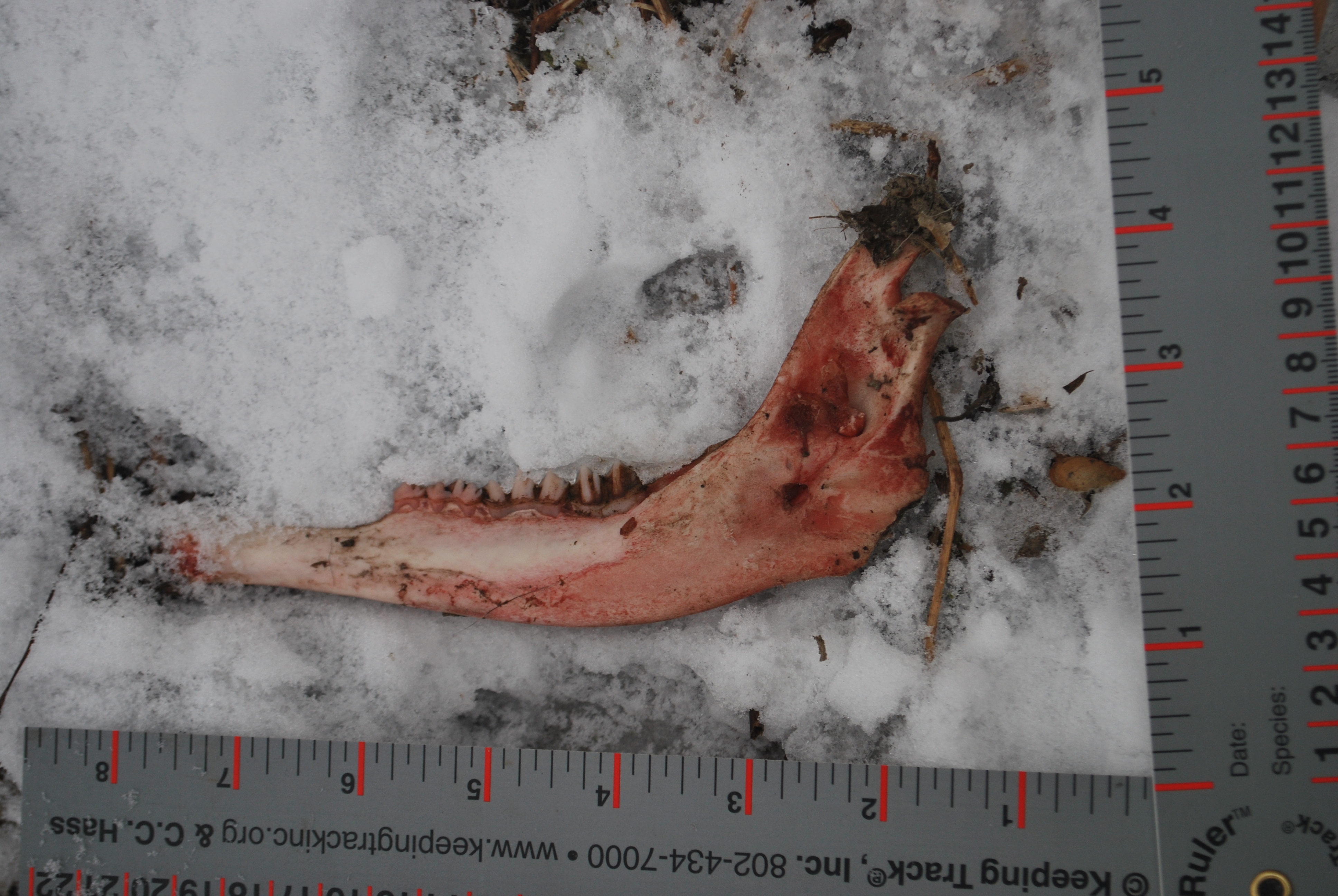
In addition to surveying infrastructure BEAT will also work with its affiliate the Berkshire Wildlife Trackers (BWT) to track wildlife along identified crossing sites. BWT maintains a pool of seasoned and certified wildlife trackers that regularly take to the hills of the Berkshires in search of critters. They are an invaluable tool in the connectivity arsenal, providing a service that reliably illustrates exactly where wildlife are crossing and what species are doing so.
The third and final tactic in Surveying is roadkill surveys. Along selected crossing sites locals, volunteers, and landowners will drive, bicycle, run, or walk and record location, date, time, and species of roadkill. That data will then be added to a BEAT database and entered into the statewide roadkill database.