Connectivity Report
 |
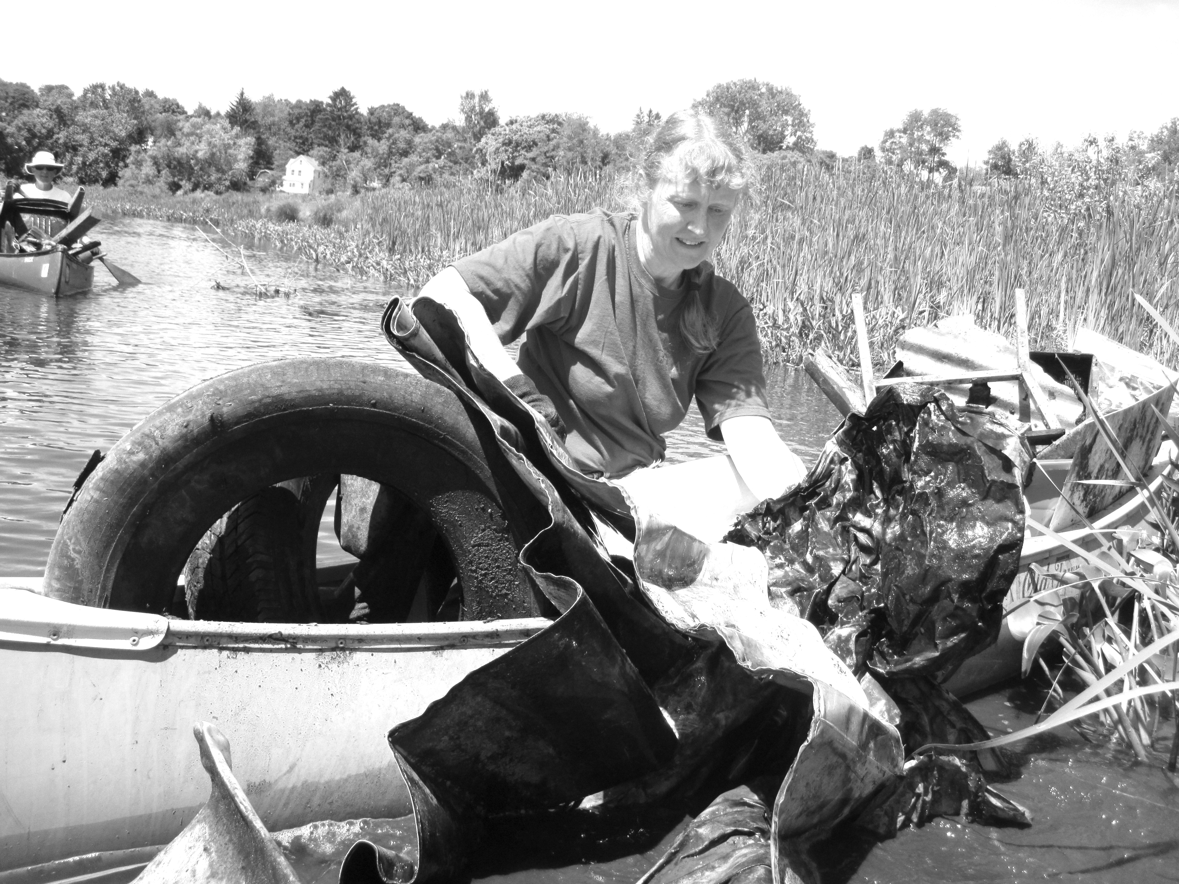
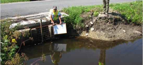
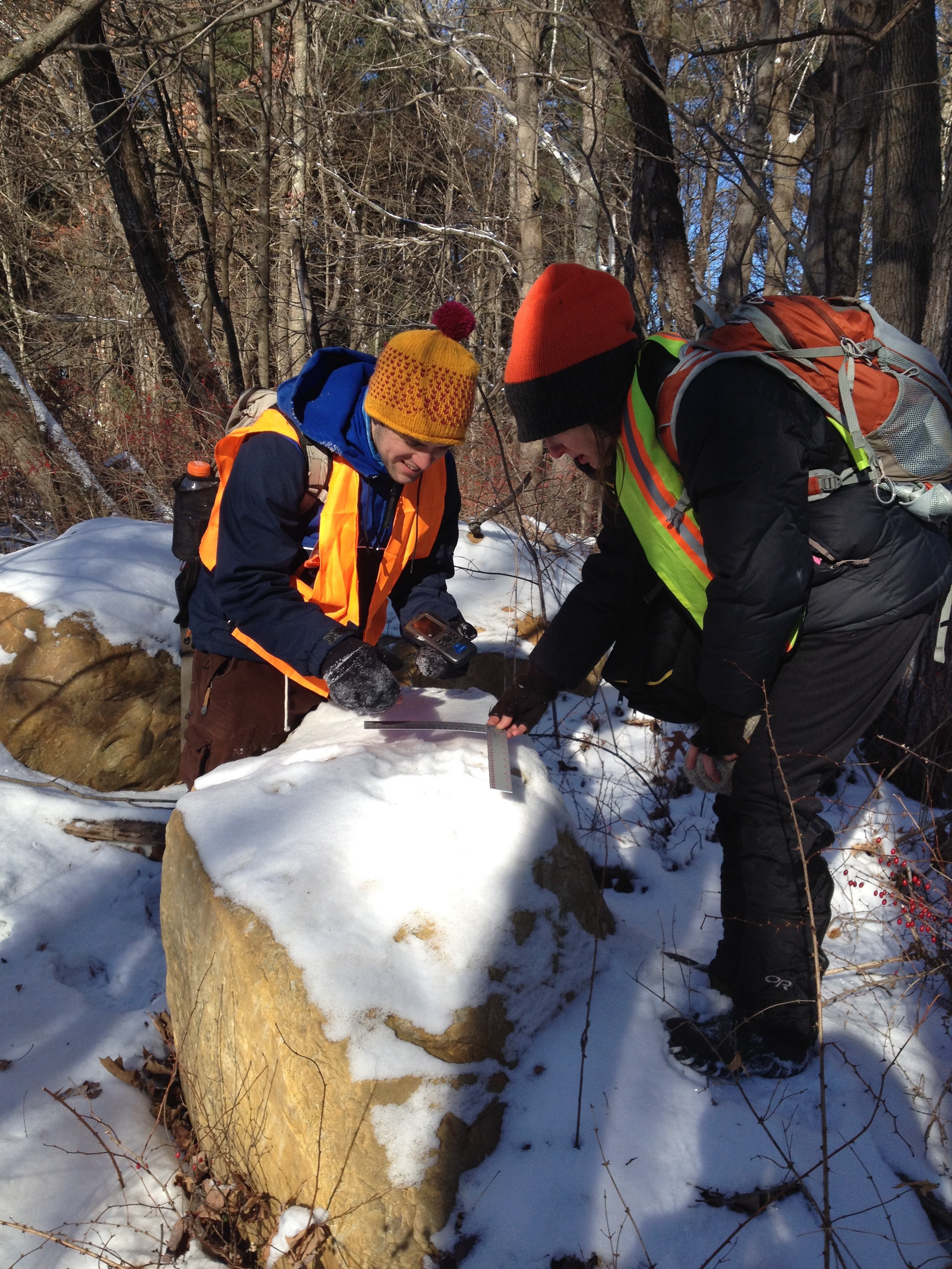
In the winter of 2013-2014 BEAT collaborated with it’s affiliate the Berkshire Wildlife Trackers BWT and it’s partners The Nature Conservancy TNC and Wild and Scenic Westfield River WSWR to conduct one of the most ambitious tracking projects ever endeavored in Commonwealth of Massachusetts. Over 30 miles of transect was set, over 3,000 data points collected, and more than 180 miles tracked. This herculean effort resulted in TNC’s Connectivity Report (executive summary: here) which will guide landowners and conservation organizations in their aspirations toward a more connected, resilient, and interesting landscape.This work was part of BEAT’s Connecting for Wildlife project which strives to “Improve roads for motorist safety and habitat connectivity”. One of the more rewarding aspects of the study was looking at the photos and videos from wildlife cameras. You can view those photos and videos here. If you are interested in BEAT’s continued efforts toward a more connected landscape please visit the project’s webpage: Connecting for Wildlife or email Elia@thebeatnews.org. |
CONNECTIVITY REPORT
EXECUTIVE REPORT